Vancouver’s PhotoSat has been helping mineral exploration companies understand the geology and mineralization of the areas in which they operate since 1993. But the company’s alteration mineral mapping technology has become a whole lot more accurate with the use of deep learning technology.
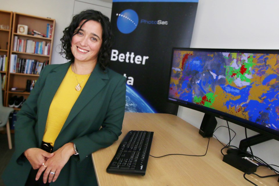
“We’re eliminating a significant amount of fieldwork,” said PhotoSat CEO Andrea Krupa. “And we’re also eliminating this seasonal dependency. A geologist can get the alteration mineral map and work on it when there’s snow on the ground.”
PhotoSat has two main segments to its business: Alteration mineral mapping, used by mineral exploration companies, and mine site elevation surveys, used by engineers to monitor open-pit mines and tailings ponds.
PhotoSat can create detailed elevation surveys and topographical maps, which engineers can then use in the designing, planning and monitoring of open-pit mines and tailings ponds.
“We’ve been involved in a lot of the reconstructions on the post-mortems after tailings dam failures,” Krupa said.
PhotoSat buys data from satellite companies and applies its own proprietary technologies—including deep learning technology—to develop products such as alteration mineral maps.
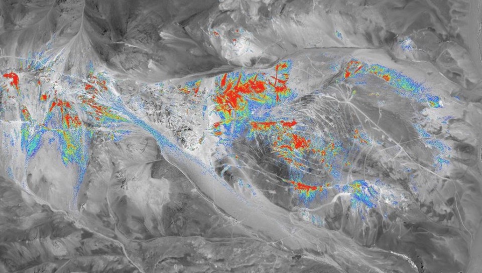
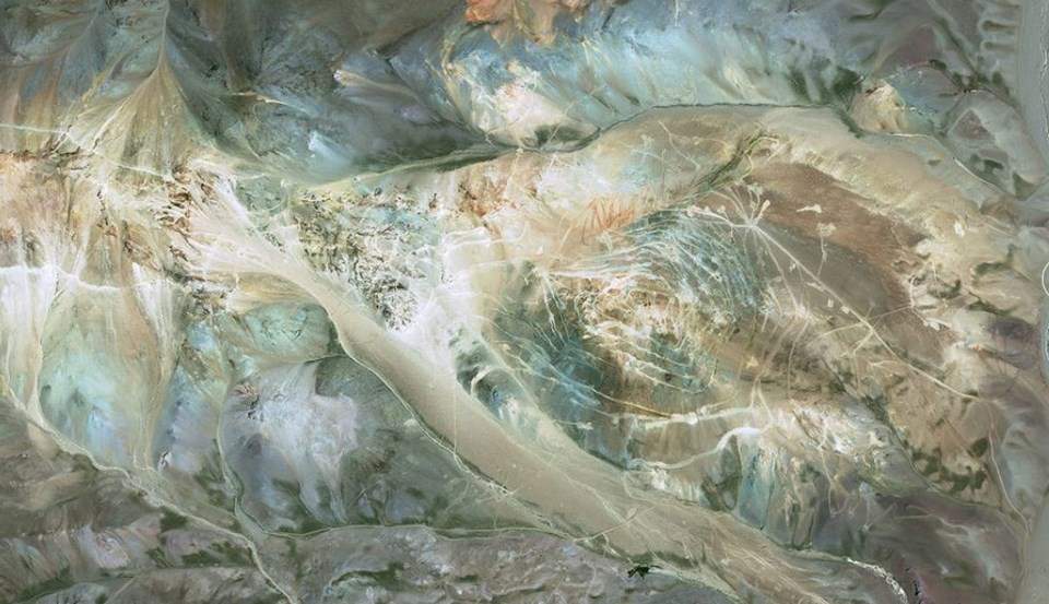
Alteration mineral mapping is based on measurements of how the surface of the earth reflects or absorbs light. Every mineral has its own unique spectral signature. PhotoSat’s alteration mineral mapping can identify 13 different types of “alteration” minerals on the surface on the earth.
Alteration minerals are essentially rocks formed from some other rock or mineral through weathering or geological events such as heat and pressure. These minerals and rocks are typically not of value themselves, but can be indicators of other, more valuable minerals below ground. Buddingtonite at the surface, for example, could be an indicator of a copper porphyry deposit.
“Minerals on the surface are actually what shows the exploration geologists how things underground are actually going to look—so how things have been pushed to the surface,” Krupa explained.
“Depending on how the light is coming from the sensor, we can use our own spectral library … and classify which area is predominantly which mineral.”
The alteration mapping can cover vast areas and help exploration companies zero-in on areas where indicator minerals suggest taking a closer look may be warranted.
“A lot of these companies will be looking at hundreds of square kilometres of area,” Krupa said. “So what they want to do is they want to use these fully-remote satellite-based data sets to be able to target and pinpoint where they want to put their efforts.
“We’ve recently done a job which was almost half of Northern Argentina. They’re not going to be sending ground troops to that. There’s just too much area to cover.”
The company has also mapped a significant amount of the Golden Triangle in Northwestern B.C.
One of the deposits that PhotoSat has mapped—and which now serves as one of PhotoSat’s case studies—is the Red Mountain deposit, which Ascot Resources Ltd. (TSX:AOT, OTCQX:AOTVF) acquired in 2019 and plans to mine as part of its Premier mine project.
The Red Mountain deposit was discovered in 1989 and is known to host gold. Information about what is already known about the gold resources there helped to confirm the accuracy of the PhotoSat alteration mapping for the Red Mountain deposit. It was then used for an expanded survey.
“The machine-learning model gets trained on the known deposit, where we have ground truth and can then identify other areas with the same surface minerals,” Krupa said.
“In the case study … you can actually see other areas not in the Red Mountain claim where they got very good responses. Those areas are now claimed and there is a lot of exploration work happening.”


