The term “polar vortex” usually refers to the gigantic circular upper air weather pattern in the Arctic region. It is a normal pattern that is stronger in the winter and keeps some of the coldest weather bottled up near the North Pole.
But at times some of the vortex can break off or move south, bringing unusually cold weather south and permitting warmer weather to creep up north.
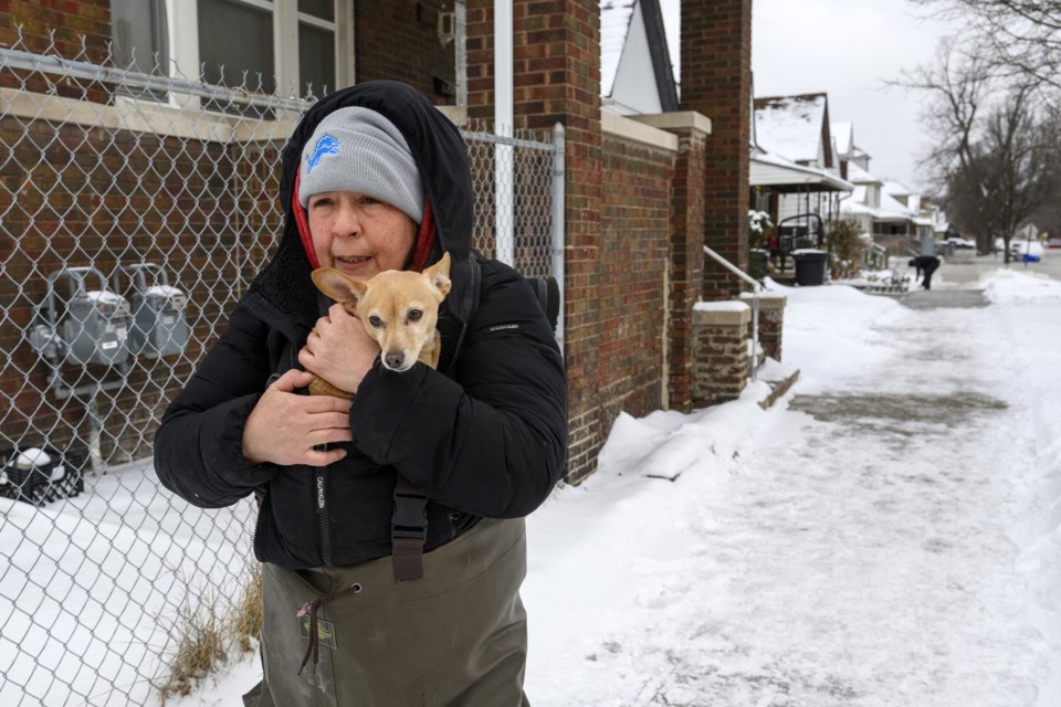
This week, parts of the U.S. are experiencing the 10th and coldest polar vortex event this season. Weather forces in the Arctic are combining to push the chilly air into the U.S. and Europe.
With record snow in New Orleans last month and drought and destructive wildfires in Southern California, this winter has not been normal.
The latest projected cold outbreak will bring bone-chilling temperatures to the Northern and Central Plains for several days, starting Sunday.
Wind chills dropped to minus 60 Fahrenheit (minus 51 Celsius) in parts of North Dakota Monday and minus 50 F (minus 46 C) in parts of Montana. Wind chills were expected to dip even lower Tuesday morning.
“Frostbite and hypothermia will occur if unprotected skin is exposed to these temperatures. An extended period of freezing temperatures could cause ruptured water pipes,” the NWS warned Monday.
Meteorologists expect strong winds to make the cold feel even worse. Every U.S. state but Hawaii, California and Florida have some or all parts forecast to have a good chance of windchills of 20 degrees or below sometime next week, the National Weather Service predicted.
Some experts say disruptions to polar vortexes are happening more frequently because of a warming world. A warmer Artic gives more energy to atmospheric waves that can drive weather patterns, making the waves more likely to disrupt the vortex and move colder air south into lower latitudes.
Despite the unusually cold winter across the U.S., the world remains in an overall warming pattern. Earth’s average overall temperature set yet another monthly heat record in January. It was the 18th month of the last 19 that the world hit or passed the internationally agreed upon warming limit of 1.5 C (2.7 F) above pre-industrial times.
The Associated Press


