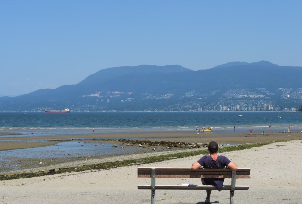
The summer weather is going to stick around for a bit longer.
Highs in the mid-20s and lows in the midteens are expected in Vancouver through the first week of September. Environment Canada meteorologist Phillip-Alain Bergeron tells V.I.A.
While there could be some thunderstorms in the mountains east of the region Monday, Sept. 2, the city shouldn't see precipitation for at least the next seven days.
"Right now we have this very strong ridge that's dominating over B.C.," he says. "It's very warm in the Interior, but the coast is slightly different because we're in the marine layer."
That'll keep Vancouver around 23 C for the rest of Sunday, Sept. 1, he explains, though areas inland from the City of Vancouver could reach highs of 29 C. However, there's humid air in the region right now, making it feel more like 28 C on the coast and 34 C inland.
On Monday, a trough moving through the region will erode the ridge a bit but not entirely, Bergeron explains. That'll bring some clouds and potentially some fog, but nothing too heavy or organized.
What it will do is allow the marine layer of air that Vancouver is in to move east, bringing temperatures down a little bit in Metro Vancouver and the Fraser Valley.
"You won't have that contrast in temperatures tomorrow," he notes.
At higher elevations in the southern Interior, that could lead to thunderstorms and lightning strikes, but not around Vancouver.
That trough won't stay around though; by Monday things will be back to normal and the ridge will begin to grow again.
"We're quite confident these conditions will be similar through to next weekend," says Bergeron.
That'll lead to clear skies and temperatures rising from Tuesday through Thursday, but it won't get too hot.
"It'll be unseasonably warm, but we're not worried about a heat warning," he adds.


