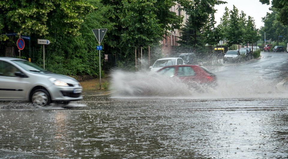
An atmospheric river is expected to bring ample rainfall to the south B.C. coast this weekend.
Environment Canada meteorologist Lisa Ervin says a parade of storms will target the south coast of B.C. with showers commencing on Thursday, March 20 afternoon with moderate to heavy precipitation overnight into Friday morning.
Up to 30 to 40 mm of precipitation is expected on the North Shore with southwestern sections of the Lower Mainland expected to receive 10 to 20 mm through Friday morning.
"The heaviest rainfall is expected up until midnight and then it will taper off and linger into the morning," she tells V.I.A., adding that intermittent showers are expected through Friday.
Ervin adds that showers are precipitation that suddenly starts and stops but may include anything "from trace, light amounts to heavier rain," particularly in a dynamic season like spring.
Friday afternoon's forecast also includes a risk of thunderstorms due to an unsettled atmosphere.
A weak ridge of high pressure is expected to start building on Friday night, providing mainly dry conditions on Saturday with a slight chance of showers during the day.
Metro Vancouver weather forecast includes atmospheric river
From Saturday night through mid-Monday, there is a chance for moderate to heavy rainfall as an atmospheric river brings moisture to the region.
Ervin says there is a potential for rainfall warnings, with heavy rainfall likely over the two-and-a-half days. Additionally, these systems will bring warmer air and cause freezing levels to rise, meaning alpine enthusiasts should monitor risks with Avalanche Canada before embarking on the slopes.
The amount of rainfall in the Lower Mainland will depend on the positioning of the atmospheric river, as well as the timing of the wet weather event.
The rainfall is expected to continue through Monday and then a ridge of high pressure should start building into Tuesday. Temperatures 2 C to 5 C above the seasonal average are expected on Tuesday and Wednesday, bringing temperatures in the mid-teens to as high as 20 C. Higher temperatures are expected in southeastern sections of the Lower Mainland, such as the Fraser Valley.
The ridge is expected to break down overnight Wednesday, allowing temperatures to drop to seasonal averages. A showery pattern is expected to resume at this time.
Locals should monitor the BC River Forecast Centre for advisories during the wet weather event.
Stay up-to-date with hyperlocal forecasts across 50 neighbourhoods in the Lower Mainland with V.I.A.'s Weatherhood.


