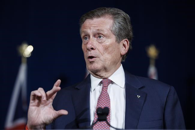
Toronto Mayor John Tory called for proposed changes to the federal electoral map to be withdrawn Friday, saying they would "unnecessarily" break up communities and reduce representation in the House of Commons for the city's east end.
Boundary changes under considerationwould see the number of federal ridings in Toronto drop from 25 to 24, with one less representative in Scarborough.
In a letter to the commission charged with redrawing Ontario's federal electoral map, Tory said the proposal is "unprecedented" and could seriously impact the "vast history of the areas."
"Identifying as a resident of Scarborough means a lot more to people than you might know, sometimes even more so than identifying with the City of Toronto itself," Tory wrote in the letter, dated Thursday, but shared publicly Friday.
The proposed map would see parts of northwest Scarborough absorbed by two North York ridings, and the six Scarborough ridings reduced to five. The current boundary would shift east from Victoria Park Avenue to Warden Avenue, between Eglinton Avenue and McNicoll Avenue.
"The historic boundaries of these former separate municipalities would no longer be respected," Tory said in the letter addressed to commission chair Justice Lynne Leitch.
The city was amalgamated in 1998, joining East York, North York, Scarborough, York, Etobicoke and Old Toronto.
Scarborough has been a place where many immigrants have chosen to settle, Tory said, with the "extremely diverse population" reflected in the community's businesses, schools and places of worship.
Businesses, property values, health care networks and neighbourhood associations would be impacted by the decision, hesaid.
"For years and years, the residents of Scarborough have voiced that they feel unfairly treated and overlooked by governments, and this decision would just reaffirm the idea in many people’s minds," Tory said.
He called on the commission to revert to the city's 25 districts and "original boundaries", an apparent reference to the last time the electoral map was redrawn in 2012.
Tory's appeal came before the Oct. 29 deadline for the public to send written submission to the Federal Electoral Boundaries Commission for Ontario.
The commission says population growth in the city of Toronto was lower from 2011 to 2021 than in the rest of Ontario, and there are now disparities in population density and riding size.
If the boundaries stayed the same, the average riding in Toronto would be about 4 per cent less populous than the provincial quota of 116,590. The quota is calculated as Ontario's total population divided by the 122 electoral seats allocated for the province.
Left unchanged, Scarborough North would be the least populous district in the city with 94,717 people while all six Scarborough ridings would fall below the quota.
Meanwhile, large population disparities between Toronto ridings would persist if left untouched. Census data shows the fast-growing district of Etobicoke-Lakeshore has almost 50,000 more people than Scarborough North.
The commission's proposed map would see the average Toronto riding fall virtually equal to the Ontario quota, with a 12,652-person range between the largest and the smallest ridings in the city.
But aside from population, the commission must also consider social and geographic factors, such as community identity based around, for example, language or shared culture and history.
On that basis, Scarborough-Agincourt Liberal MP Jean Yip said she wants to see her riding, and all six Scarborough ridings, preserved.
"The commission is splitting a community, a whole community, three streets that have been traditionally part of Scarborough into North York," said Yip. "We're different in our needs, we're different in basically our social supports."
She also cast doubt on the accuracy of the 2021 census because it was conducted during the pandemic "and not everybody is going to open the door during the pandemic, especially those where there are language barriers" said Yip.
The Constitution calls for a review of electoral boundaries after each 10-year census and the soonest the new maps could be in place would be for a 2024 general election.
The lengthy process from proposal to approval is expected to last until September 2023.
While northern Ontario is also set to lose a riding under the proposed map, new districts would be created in the eastern and northern Greater Toronto Area, central Ontario, along with the Guelph and Brampton areas.
- With files from Sarah Ritchie
This report by The Canadian Press was first published Oct. 28, 2022.
Jordan Omstead, The Canadian Press


