A low-pressure system will bring warmer temperatures and moisture to the Lower Mainland on the weekend.
Environment Canada Meteorologist Alyssa Charbonneau tells V.I.A. a "pretty big shift in weather" is coming to Metro Vancouver, as the cold Arctic air mass begins to weaken.
A ridge of high pressure has kept the Arctic air in place for weeks, dropping temperatures up to -10 C below seasonal averages. Some areas felt as cold as -20 C with the wind chill.
"Some cloud will come in [Thursday, Feb. 13] night and into Friday," she says. "The cold Arctic air that's been firmly in place for the last couple of weeks will begin to move off."
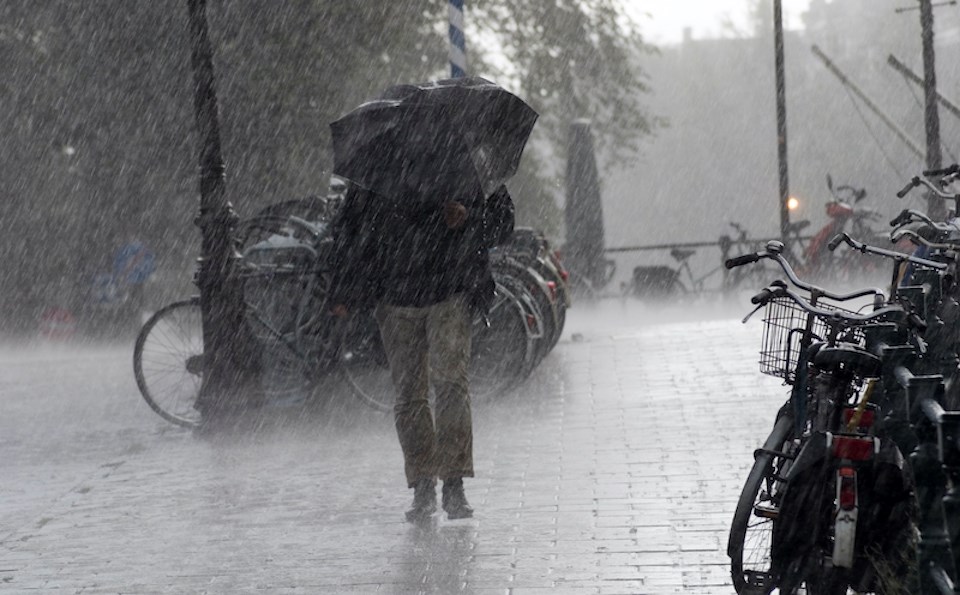
Friday's forecast includes dry conditions but a low-pressure system is expected to produce precipitation starting Saturday morning and continuing through the weekend.
"Right now the timing is looking like [rain will fall] potentially early morning but it could be delayed," she explains. "Initially, it's still that cool air mass and then it is warming up slightly. With the snow levels a bit lower, we could get a little bit of snow first in the morning."
Metro Vancouver weather forecast includes possible flurries, multiple storm systems
Any morning flurries should transition to rain by Saturday evening, with the daytime high expected to reach 6 C. The overnight low is only expected to dip to 4 C, marking a striking departure from the week's unseasonably cold temperatures.
Charbonneau adds that the storm system isn't "particularly heavy," with light to moderate rainfall amounts totalling 10 to 20 mm over 24 hours.
"Over the mountains, we may see more [rainfall] but it is not a big juicy storm," she adds. "However, It will be enough to dislodge that really entrenched Arctic air and open the door for more storms next week."
A shift in the flow pattern means warmer air can make its way off the Pacific. The ridge of high pressure has deflected smaller, incoming storms but has weakened since the last major snow event. During the heavy snow starting on Feb. 2, a low-pressure system clashed with the Arctic air mass, creating widespread snowfall.
"What tends to happen over time is the [Arctic air mass] starts to moderate and take on the qualities of the region it is in," she explains.
Rather than another widespread snow event, locals may see modest flurries for a few hours as the low-pressure system replaces the frigid air mass. Temperatures are expected to shift closer to seasonal averages and persist through next week.
Warmer-than-average temperatures are expected at the end of February, although forecast confidence weakens after seven days.
Stay up-to-date with hyperlocal forecasts across 50 neighbourhoods in the Lower Mainland with V.I.A.'s Weatherhood.


