Sphagnum moss. It may not sound sexy. Chances are, you’ve never heard of it.
But the City of Richmond is undergoing a multi-million dollar park design for the Garden City Lands that, in part, is aimed at preserving this bog-building plant by way of ecosystem engineering.
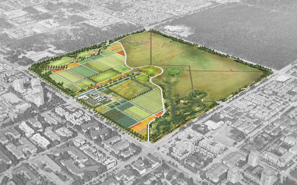
At the heart of what is likely a park design that’s never been seen before in the world, planners, engineers and local environmentalists will attempt to promote both conservation of Richmond’s unique peat bog ecosystem, as well as agricultural production and leisure recreational activities in the 52-hectare (136 acre) lot.
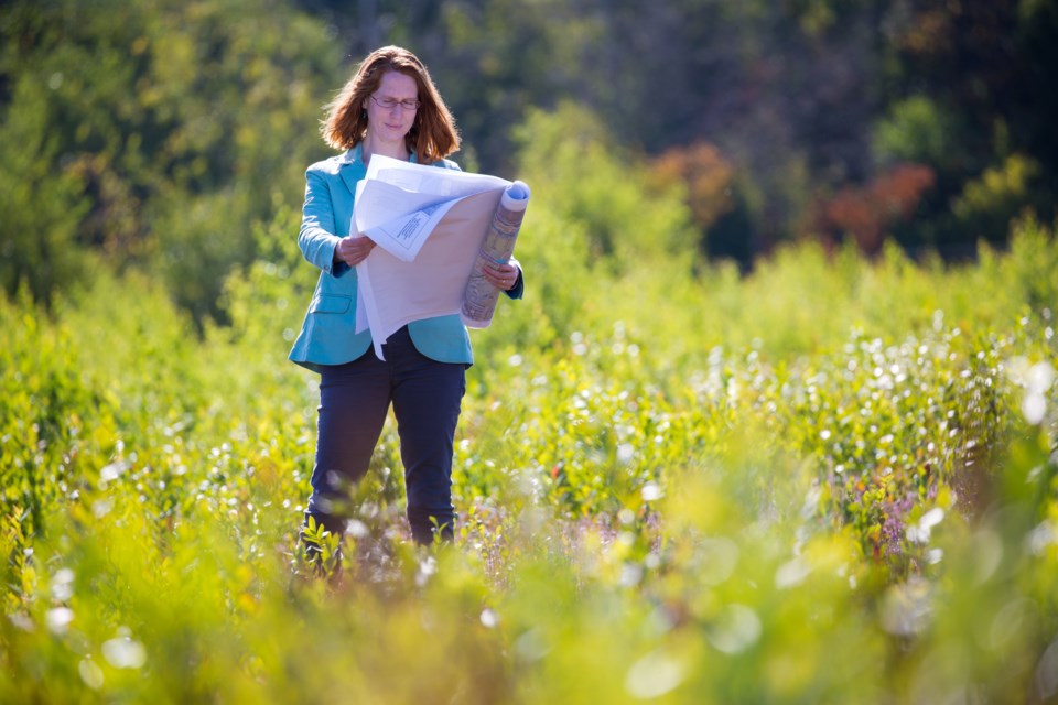
“I don’t think anybody has done anything quite like this before. As far as we know, no one has ever done it right side by side in this context,” said Laurel Morgan, environmental engineer for Kerr Wood Leidal Associates Ltd., a company that specializes in storm water management.
Morgan’s recent report to the city outlines what will be needed in order to allow for farming next to a peat bog — a tricky task. The report — titled Garden City Lands Water and Ecological Resource Management Strategy — outlines how the city’s parks planners can devise a way to quench the thirst of the easterly peat bog after restoring the lands with native species and stomping out invasive ones. Meanwhile, they must also ensure the restored farmland, to the west, gets enough water and nutrients. Complicating matters is the fact that each side requires a different type of water.
Richmond’s manager of parks planning, Jamie Esko, explained that the vision set forth in the Garden City Lands legacy plan reflects the community’s desire to see some farming activity, as well as ecosystem restoration and preservation.
“We’re trying to work with both bog aspects and farm restoration,” said Esko. “To some degree, they’re opposites. On the bog side, the lands need to stay wet, while on the farm side it needs to be drained and the soils need to be amended.”
The initiative marks the beginning of what could ultimately be an estimated $35 million endeavour over the next decade, said Esko. To date, city council has approved $4.4 million in spending to pay for the hydrology study and construction of a perimeter trail, looping around Westminster Highway, Garden City Road, Alderbridge Way and No. 4 Road.
It wasn’t always going to be this way, however. The lands were once centre-stage for one of the most high-profile debates among politicians and Richmondites.
“We’ve come a long way. Sixty-five per cent of the lands were going to be developed,” said Jim Wright, past president of the Garden City Conservation Society, which formed when local politicians showed a desire to build the likes of sports fields, arenas, condominiums and even a trade centre. Wright’s group fought to keep the lands in the Agricultural Land Reserve (ALR), a provincial land bank created in 1973 by the Agricultural Land Commission Act.

From trade centre to world class park?
The Garden City Lands was formerly a transmitter site for the Canadian Coast Guard.
It was deemed surplus land by the federal government, and in 2005 the City of Richmond and Musqueam Indian Band began negotiations to develop the land.
Present day councillors Ken Johnston, Derek Dang and Bill McNulty, as well as Mayor Malcolm Brodie initially supported the development concept.
Coun. Harold Steves was, initially, the only councillor in favour of keeping the lands in the ALR. Following public input and a reluctance on the part of the Agricultural Land Commission to allow development, the tide turned and, in 2010, the city purchased the lands for $60 million, half of which went to the Musqueam.
The band has a dormant lawsuit against the city, which stems from concerns the city was to seek redevelopment after the purchase.
It’s Steves’ understanding that the lawsuit will only see the light of day if the land were to be developed into anything unrelated to the ALR.
Wright said he was pleased to see Morgan’s “commendable” study, but the society will continue to press the city to keep the lands as a “celebration” of the ALR.
“When (politicians) saw they couldn’t get out of the ALR, there was still a lot of residual thinking – such as, ‘How can we get around the ALR?’” said Wright.
“What we should have is one of the world’s great urban parks. An ALR-centred urban park. You need to celebrate the ALR.”

Esko’s team is now aiming to do just that and no one from council is questioning the city’s new direction.
The park will never stop morphing, but Esko estimates it will be about 10 years until the potential of the lands is mostly realized, with the creation of a “community hub” for a farmers’ market and community gatherings, as well as a small forest of native species, a wetlands, community gardens and farm plots for students studying sustainable urban agriculture at Kwantlen Polytechnic University's Institute for Sustainable Food Systems.
All of this will be done in the context of the ALR.
“We’ll be working with the Agricultural Land Commission. Their policies are the rules we play by,” said Esko.
Morgan’s report is the first phase of park development — the roadmap, if you will. It largely outlines how water must be managed — namely with concerns about the water table, chemistry and plant management.
A key element will be a man-made water barrier between the bog on the eastern half and farms and fields to the west. Bisecting the lands diagonally will be the barrier, below a trail/farm road. Runoff water from the farms is rich in minerals and organic nutrients whereas native sphagnum mosses thrive only in clean rainwater with low acidity. As such, separation is required.
The barriers (also placed alongside the perimeter trail to prevent storm water runoff from roads) will also be key in directing rainwater to various collection ponds, and in particular a wetlands in the southerly portion of the park. This water could theoretically be used to feed the bog in dry summer months. Additional measures taken to keep the bog’s water clean is a vegetative buffer between the roads and the bog.
Morgan said climate change will be a factor. The bog will see more precipitation overall, with wetter winters, however drier summers will likely pose a problem.
“The groundwater table has to be within 0.4 metres below the surface of the peat bog in the growing season,” said Morgan.
Over the decades, the city could take water from the Department of National Defence (DND) lands to the east, but as a result of development on all three other sides, the bog is effectively hemmed in and dependent on direct rainwater.
“It’s going to be a long process of continuous monitoring and adjusting,” said Esko.

Soil will be trucked in
Meanwhile, the farmland to the east will need to have mineral-rich soil delivered to it, initially by truck, said Morgan. This may mean removing peat moss, to allow for vegetable production. As it stands, the lands can only support native berry production but not on a production level.
Esko noted the lands are too far away to draw water from the Fraser River, therefore, as suggested by Morgan, municipal water will be relied upon. As such, the lands may be prime to explore drought-resistant farming techniques, noted Esko. An agreement with KPU to farm 20 of 40 acres of planned farmland is pending a tenancy agreement, she added.
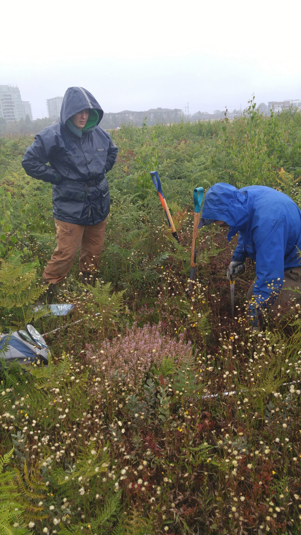
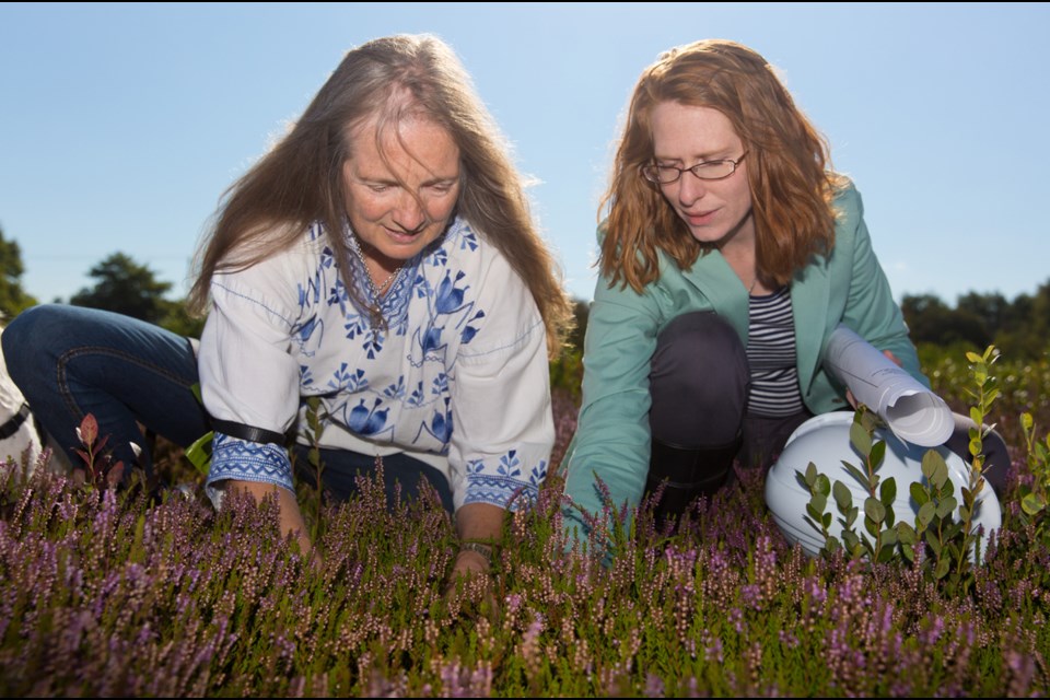
Managing invasive species will be important, noted Morgan. European birch, highbush blueberry, Himalayan blackberry, Scotch heather and various grasses are some of the plants that have been identified as invasive. To date, they’ve been mowed annually. Morgan suggests the city assess how the water barriers perform after three years before deciding whether or not to completely remove the species mechanically and manually or allowing the lands to grow as is. If the latter option is chosen, the lands could resemble a young Richmond Nature Park in 20 years. In the meantime, invasive species that are nearby to patches of sphagnum moss should be “aggressively removed,” noted Morgan in her report.
Over time, the city will construct paths where people can walk into the bog, from the perimeter trails.
Esko said the city is drawing on experiences from the University of B.C.’s Centre for Sustainable Food Systems, the Burns Bog Conservation Society, as well as programs run out of Terra Nova via the Sharing Farm Society and the Richmond Food Security Society. When precisely a community hub — consisting of a permeable parking lot with fruit trees, a barn, a community kitchen and fields for leisure activities — will be built will largely depend on the desires of the community to run programs out of the site.
Residents need to do their part
Sharon MacGougan, president of the Garden City Conservation Society, imagines citizens will continue to play an important role in developing the park.
Impressed with the “dedication and vision” of the parks department, MacGougan said the park will serve an important link to Richmond’s history, as it straddles the growing urban jungle.
“I feel strongly in honouring the past and it speaks to the future to educate us in what we had,” she said.
Another lasting legacy of the park may just be the society itself. MacGougan and others are expressing interest in diversifying their society’s efforts to other parts of Richmond, such as advocating for the improvement of ecological areas within the city. The society is already advocating for tree preservation and planting.


