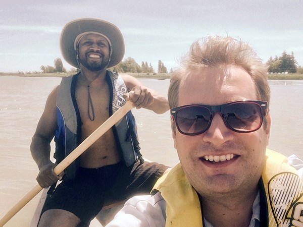
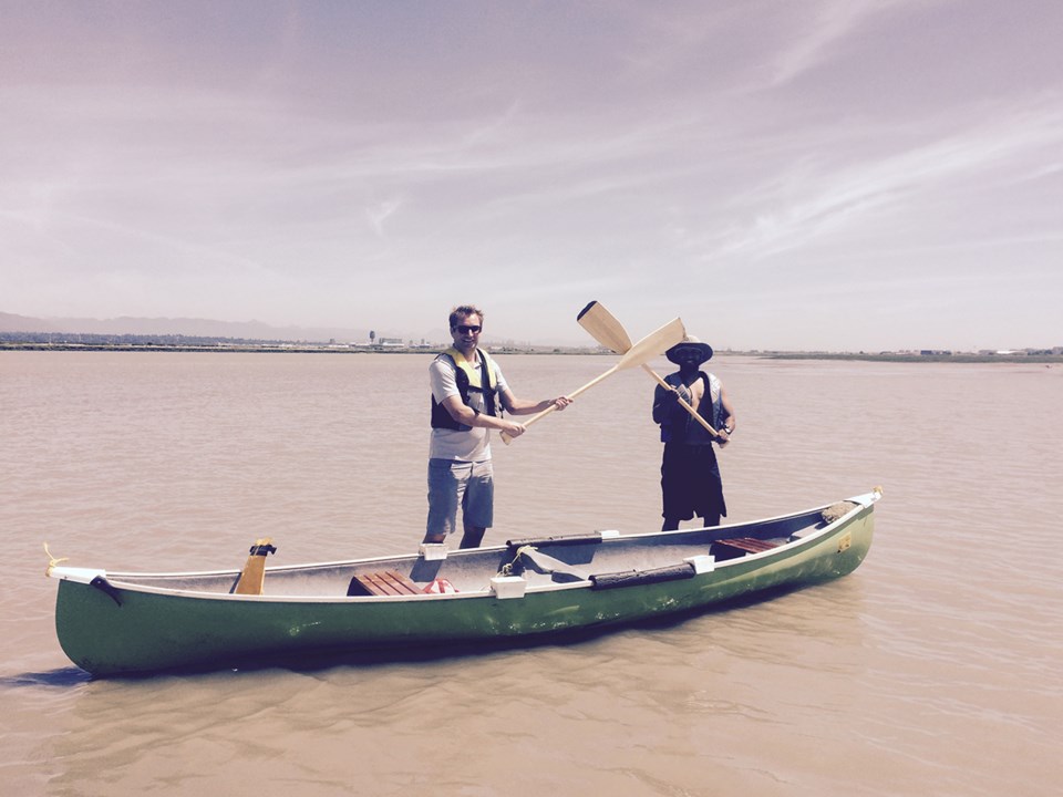
On the heels of learning about the City of Richmond’s plans to one day create a non-motorized, recreational boating area on the Fraser River’s middle arm, I put the theory to a test and grabbed two friends, hauling a canoe on over to the Dinsmore Bridge.
Longtime Richmondite Praj DeSilva and on-and-off resident Iain Laskemoen had all the necessary gear for the adventure, including, most importantly, a tidal chart. Well, it wasn’t a chart, it was a mobile app, which, frankly, seemed easier to use. This was important because our plan was to head toward Terra Nova and we knew it could be trouble getting back up the river if the tide was going out.

We took off on a bright and sunny Sunday, first managing to slowly make our way down the dyke’s rocky edge. The city has installed rock benches to supposedly grant access to the river, but I found them to be placed too high up to make any discernible difference for us (on the way back up, I sliced my toe on a sharp edge).
We stuffed our valuables into a waterproof bag, put on our lifejackets, and were ready to hit the water. We were heading out just as the tide was finishing going out, so it was a quick journey to Terra Nova.
We hugged the shoreline at all times to steer clear of the float planes, although I can say they were hardly noticeable. If the river were to become a popular recreational boating spot, I imagine the city would have to regulate the area just west of the No. 2 Road Bridge.
Once at Terra Nova, we crossed over the river and spotted a marshland that was exposed due to the low tide. The sand formations were incredible as flowing water cut through the land as if to create mini rivers between the tall grasses.
A number of great blue herons stuck their necks out inquisitively to get a peek at some rare visitors and we could hear small creatures scurry from their posts, back into the grass — although I’m fairly certain that only served to show their location to the various hawks and eagles flying overhead.
At this point the sounds of the city had abandoned us. We then picked a point just west of Swishwash Island to paddle to.
I read an article in the Globe and Mail from 2009 by Dick Loomer, who, along with the Nature Conservancy of Canada, professes to be the steward of the island. Essentially, he wrote about how he enjoyed going to the island in his kayak to, in some way or another, maintain it. I wonder if he still comes out to Swishwash from time to time.
He noted the island is a bastion of mammalian life with seals, otters, coyotes, raccoons and even one “lone beaver.”
Loomer describes Swishwash as a 29-hectare island divided into three portions by tidal flooding and lowlands. And aside from the bigger mammals, he noted the island is home to juvenile salmon acclimating to the salt water as well as thousands of migratory birds.

I’m no birder and couldn’t name a thing beyond your common duck, goose or gull but if you take enjoyment in that sort of thing, this is the place to be.
The island also has old, decaying wooden pilings — relics of the fishing industry.
So, we paddled along merrily, right in the middle of the river, and all of a sudden we felt a thud. We’d beached ourselves. We thought we had a few moments earlier when our paddles, to our surprise, bottomed out. We knew Swishwash was a built-up marsh, turned island, but we were surprised by just how far out the land spread.
So, there we were, basically standing in the middle of the river and a mere 500 metres away from the south runway of Vancouver International Airport.
A WestJet 737 took off and we waved our paddles at it. Now, I’m fairly certain the pilot saw us and tipped his wing toward us. But, no, it couldn’t be. Could it be? I was convinced he “waved” at us.
Fools, he must have thought.
So, we were walking, and finally we reached a point where we could get back in the canoe.
We had overestimated how much time it would take to get down river so we still faced a bit of the tide heading out along with the river current — despite our hopes for catching the slack tide, or even the tide as it came in.
What amounted to a 30-minute journey downstream became a one hour trek back.
We passed the Canadian Coast Guard station and paddled like Olympians to avoid any potential conflict in front of the hovercraft driveway. The station has a neat little house next to it with a nice balcony overlooking the Strait of Georgia — one of Richmond’s remaining secrets, I figure.
We finally reached the Flying Beaver pub, where we (obviously) stopped for beers and lunch. It was a well-deserved rest as the current was fairly strong in the narrow passage between Swishwash and Sea Island.
Back in the canoe, we journeyed on back across the river, under the Two Road bridge, past a bunch of condos I’ll never be able to afford, the Richmond Olympic Oval, an old Chinese man fishing on the rocks, a couple of cyclists looking down at us, as they tend to do; and finally beneath the Dinsmore, back to our car at the UBC Boathouse.
We did it! We proved the middle arm could be a great place to explore in a canoe.
But is it feasible on a larger, perhaps a commercial scale?
The guy to talk to on this issue is Tony Dales, from Kaymaran Adventure Tours, who rents kayaks in Steveston Channel.
“My first blush is, not a chance,” said Dales, who also expressed reservations as to how well the university rowers would welcome a bunch of amateur splish-splashers next to them on the river.
“I don’t care what sort of training you’ve had but if you don’t understand how the tides work here on the lower Fraser River then you’re a liability waiting to happen.”
Dales said even paddling in Steveston presents its challenges. While the inner channel is perfect for beginners, an experienced paddler must be present for tours around Shady Island and into Sturgeon Bank.
“This is not Jericho, Deep Cove, and god knows, Cultus Lake. This is very different,” he told me.


