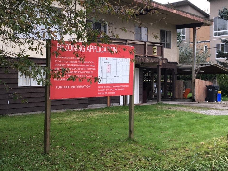
City staff recommended reducing greenspace in the Spires Road area in city centre – earmarked for densification – but council didn’t go down that route, at least for now.
Planned space for parks inside this area, between No. 3 and Garden City roads south of Westminster Highway, could be reduced and the yards made smaller, based on recommendations by Richmond city staff.
The plan for the Spires road area was originally drafted in 2008 as part of the Official Community Plan, and it was adopted by council in 2009.
The rationale provided by staff for this reduction in greenspace was the expanding parks around the neighbourhood – at Cook elementary and the Garden City Lands – which have come about after the original plan was developed.
Four lots were earmarked for a park within the neighbourhood, but staff have suggested scrapping this and allowing townhouses to be built there instead.
Coun. Michael Wolfe argued at a recent committee meeting to keep the four lots dedicated as parkspace saying, although there are some bigger greenspaces around, it doesn’t replace a nearby park accessible to people living there.
“We’re fortunate those properties were placed in 2009 as placeholder properties for parkspace,” Wolfe said.
Coun. Harold Steves pointed out the Garden City Lands aren’t meant for parks, rather they are an agricultural asset. The 136 acres that make up the Garden City Lands are in the Agricultural Land Reserve (ALR) and comprise the KPU farm school, future community gardens, a large bog and perimeter walking trails.
In the end, council sent both the area plan and the park reduction motions back to city staff to look at the proposed walkways, the roof type in the developments and the overall proposed density.


